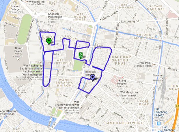
Another week, another bike ride. Following on my previous post where I mapped (probably) all of the future rail routes in Bangkok, I decided to have a bit of fun and get creative with my next ride. Well…more creative than normal. Making routes around Bangkok in Google Maps is something that I really like doing – it’s a matter of using the map view to find a rough route from A to B, and then zooming in to refine the route using satellite view and street view to find short-cuts and obstacles you can’t see on the map view. Anyway, after I had some work done to my bike I wanted to test it out on a short ride before I set off on an epic journey and broke down halfway, so I decided to follow a route right in the heart of Rattanakosin that I traced myself. But what route to follow? I thought a bit and then decided to trace something simple – myself.
I know it’s not that big of a deal to simply follow a pre-traced route, but it was kind of neat to build the word in my mind as I rode my bike. Plus, this is a really cool area – Bangkok was founded literally 200m to the west of where I started, at the City Pillar Shrine, and some of the buildings there are hundreds of years old.
Anyway, I started at the beginning of the cursive G and rode slowly east, then north, then west, then south…you get the picture. I followed the letters slowly until I finished at the end of g – about 8km total.

I’m really happy my Mom went with Greg instead of her other choice, Hemastapholosophies.
If you switch on the satellite view of the same image above you can see roughly where I was in better detail – Suan Luang to the top left of the G, the Grand Palace below that, and city hall just above the gap between the R and the E. The last G got a bit messy, but there was only so much I could do with the roads.

Zoomed way out a few dozen miles up you can still see the letters quite clearly. This gave me the idea of doing the same thing at night but with phosphorescent paint. Talk about having your name in lights!

Part of an entire paragraph that, in the middle reads “…said Greg.” I’ll start on that next week.


Time on your hands it seems! But very cool!